
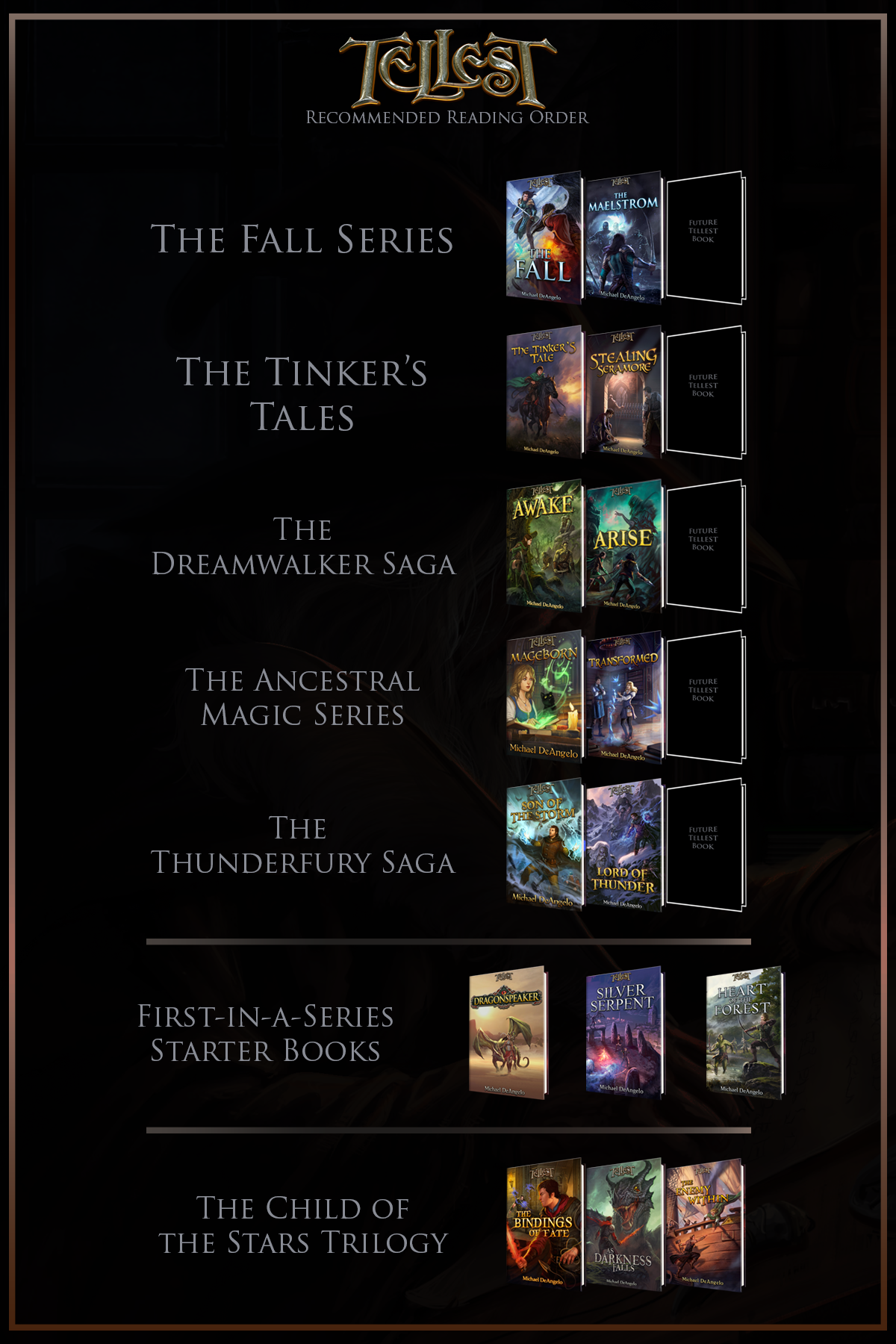
Hey there folks!
Nothing stays the same forever, and that’s the rule, it seems, for cartography as well. A few years ago, we had an excellent map of Draconis made up, but as I’m discovering more about the places within the world of Tellest, we’re learning that some things were quite right in the original map. I’ve collaborated with an excellent mapmaker to tackle not only Draconis once more, but all of Tellest. It’s a big job, and it’ll take place over the course of the next year most likely, but we’ll get this presented to you piece by piece through then.
Let’s start off by seeing an overlay that displays our older version of the map, so you can see how things have progressed.
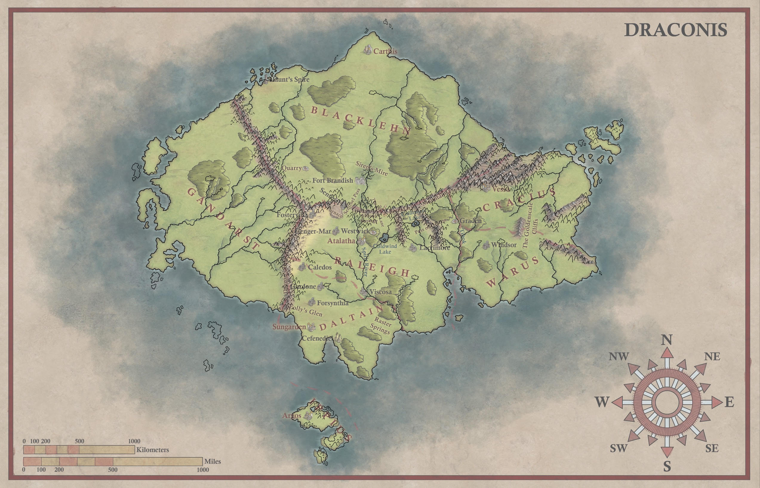
At first, you might not even notice what little things have changed. The reason we recruited Kay Fullmer for this job, though, was to make the somewhat lifeless version of the world I made feel more lived-in. You’ll notice that he made improvements to the mountains to make them look more natural. Island chains were added or adjusted to keep them from stopping so abruptly. Rivers were tweaked here and there as well.
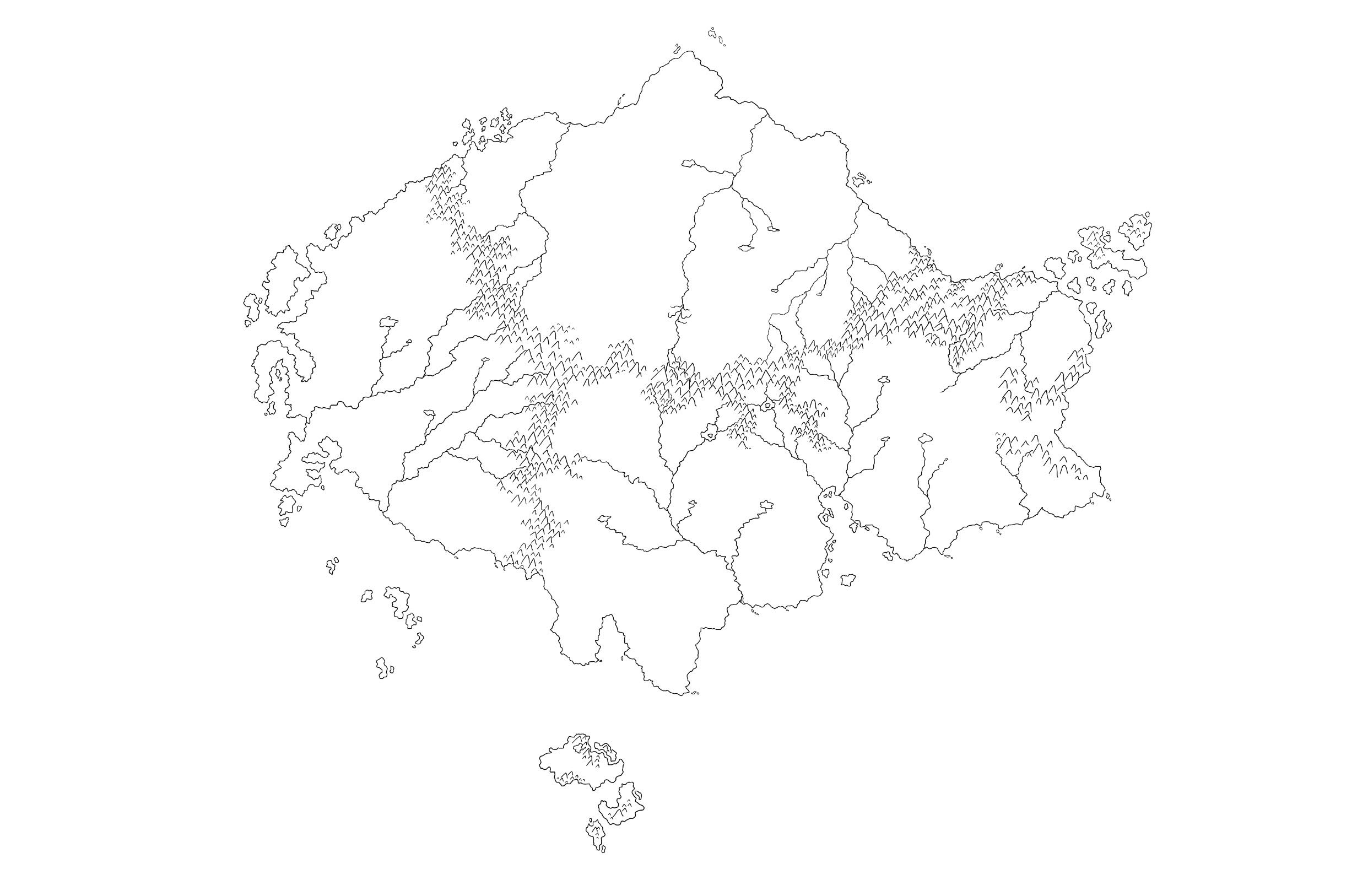
Now we’ll take a step back and look at the process. Kay started off with some basic geography. You can see the mountains and rivers a little more clearly here.
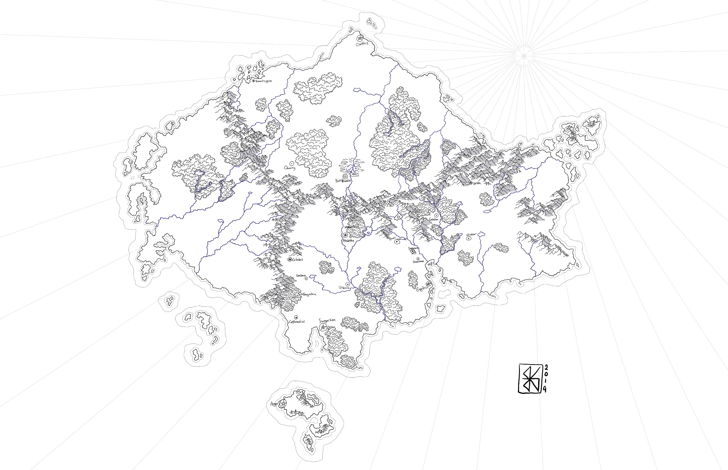
After that, we added forests and cities. Things were nearly complete here, but some things had to move a bit to accurately reflect the world.
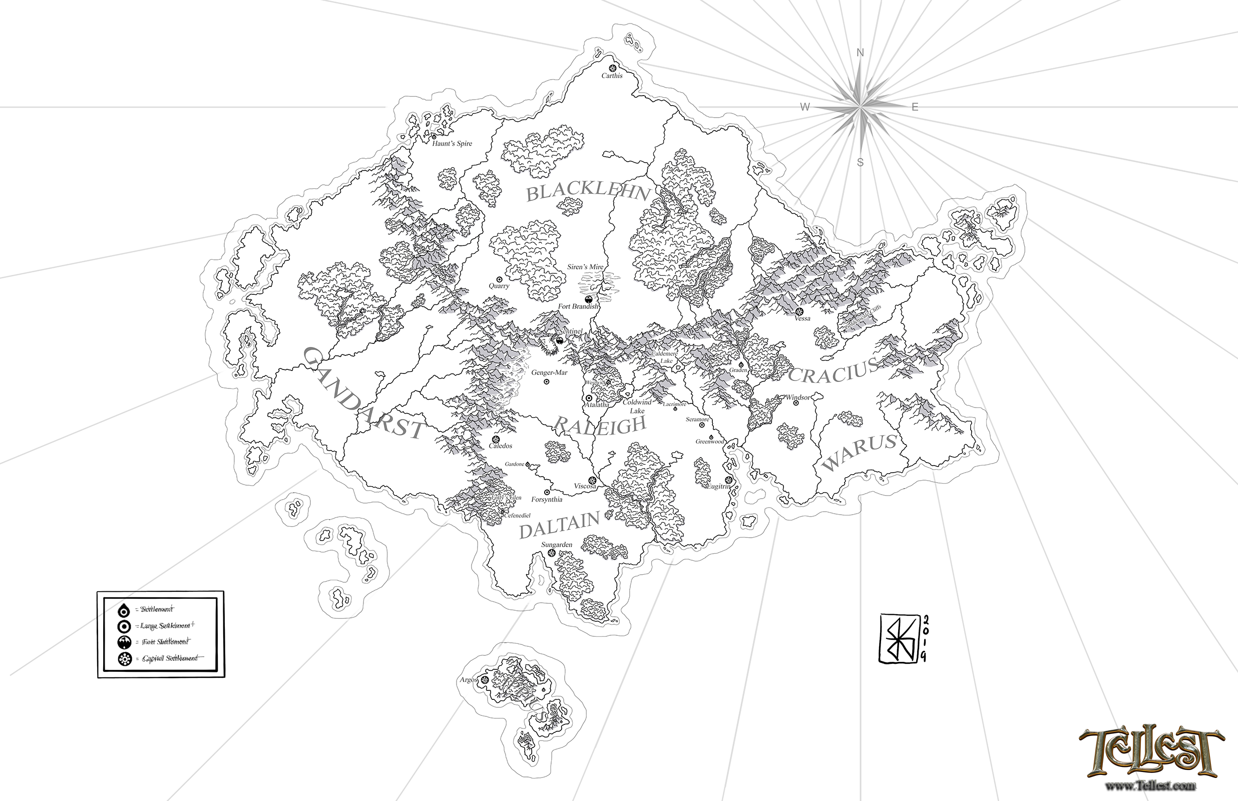
Here’s the full version as it stands right now, with the cities added in the places they should be. This should help us to develop and determine a lot more storylines in natural, intelligent ways. Thanks to Kay Fullmer once again for helping us to develop a refreshed version of the Draconis map!
Michael DeAngelo
Latest posts by Michael DeAngelo (see all)
- Interview with Kymberli Roberson - July 22, 2026
- Western Promo – The Wild West Book Collection (Stories from the Golden Age) - July 21, 2026
- Interview with Chincia Kenner - July 21, 2026